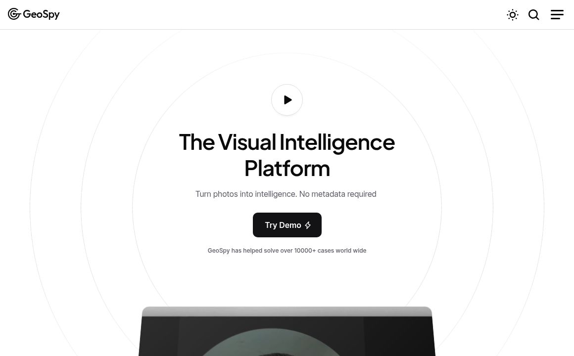
Press for navigation
Swipe for navigation

GeoSpy

GeoSpy: AI-powered tool for precise image geolocation, perfect for OSINT, law enforcement, and journalism. Offers free & paid plans.

Image Scanning Updated 21 minutes ago
Visit Website
GeoSpy

GeoSpy's Top Features

Blazing Fast Image Geolocation
High Accuracy with 'Superbolt' AI Model
Global Coverage
Detailed Location Predictions with Explanations
API Accessibility for Seamless Integration
Multi-Source Data Fusion
Confidence Scoring System
Professional Version (GeoSpy Pro)
User Privacy Protection
Scalable Plans for Individual to Enterprise Users

Frequently asked questions about GeoSpy

GeoSpy analyzes visual features like architecture, vegetation, and landmarks in the image to estimate coordinates and provide city/country information. It provides explanations for its predictions, enhancing transparency.

The accuracy is influenced by the quality of the image and the distinctiveness of features present. High-quality images with recognizable landmarks yield more precise results; generic scenes can reduce accuracy.

GeoSpy offers a free plan with limited usage. For more extensive needs, a paid 'Scale' plan is available at $499 per month, providing access to 10,000 images per month, priority support, and a premium GPU.

Although explicit global coverage is not mentioned, GeoSpy's functionality implies worldwide applicability based on its use cases in various countries. However, accuracy may differ depending on regional data availability.

GeoSpy provides a free basic version, while GeoSpy Pro is designed for professional use, offering enhanced features and higher accuracy for high-volume needs. GeoSpy Pro pricing is customized based on specific requirements.

GeoSpy commits to protecting user privacy by not storing images and anonymizing data. Some data might be collected via the API, such as IP addresses and device information, according to their privacy policy.

Yes, GeoSpy provides API access which allows integration with other applications. The API has a free tier with some limitations, and further documentation is available online.

GeoSpy is used in OSINT investigations, law enforcement, journalism, environmental monitoring, and disaster response. It aids in verifying image locations and gathering intelligence.

GeoSpy's pricing

Starter

$0/monthly

  • Includes 20 images per month
  • The base AI model
  • Standard updates

Scale

$499/monthly

  • Includes 10,000 images per month
  • The base AI model
  • Standard updates

Enterprise

$0/custom

  • Features volume pricing
  • Custom AI models
  • On-premise deployment

Customer Reviews

Login to leave a review

No reviews yet. Be the first to review!

Top GeoSpy Alternatives

Trickle

Transform your screenshots using GPT-4V with Trickle. Get insightful summaries and manage your digit...

Segment Anything By Meta

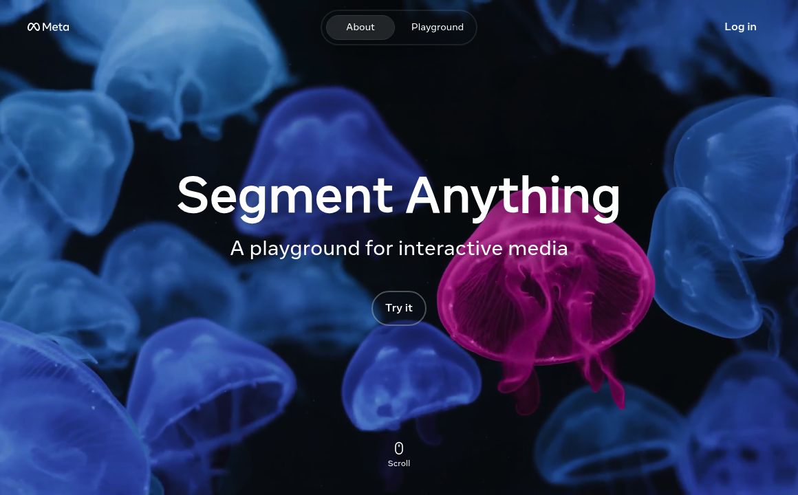
Discover Meta AI's Segment Anything Model (SAM): a versatile tool for precise image segmentation wit...

IMI Prompt

/describe feature from Midjourney uses image-to-text technology to generate four descriptive prompts...

TextScan AI

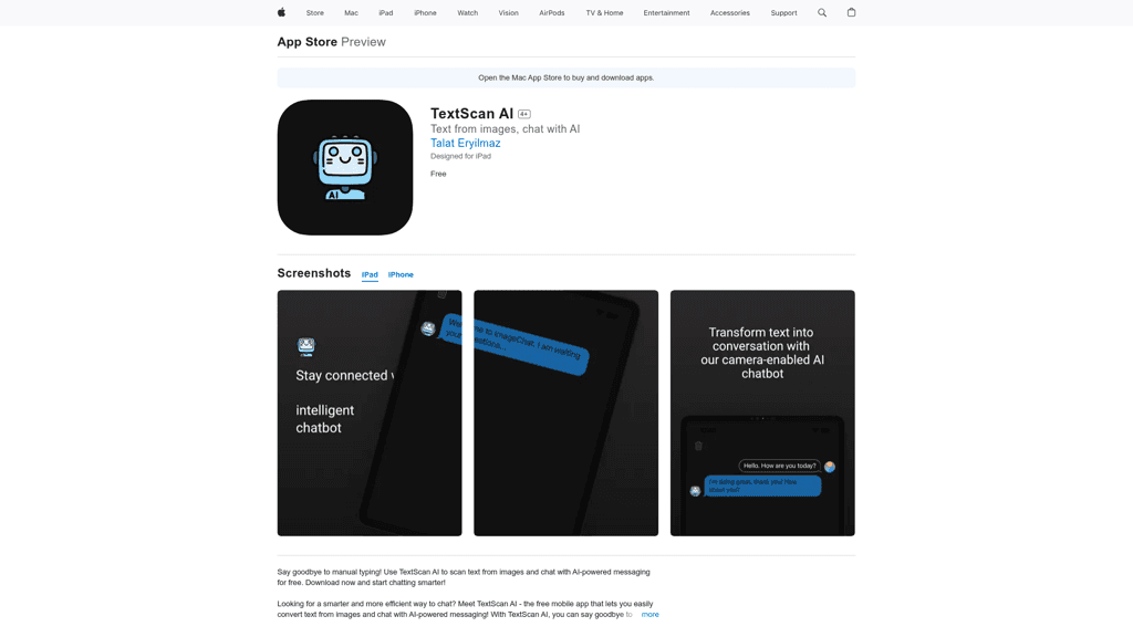
Discover TextScan AI: the ultimate app for scanning, recognizing, and organizing text from various s...

Picker AI - AI Photo Picker

Experience seamless photo organization with Picker AI's advanced AI technology. Enhance your photo m...

AI Reverse Image Search

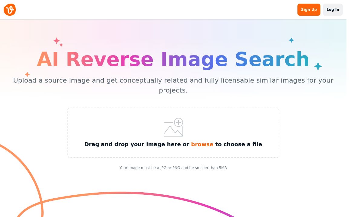
Use Vecteezy's AI Reverse Image Search to find conceptually related, fully licensable images efficie...

Prev Project
Next Project